Saturday, August 20, 2011

Steven's Pass Historic District (29Jul11)

I actually did this little hiking tour between the Rainier trip and the Evergreen Lookout, but, I'm just now deciding to blog about it.  Why?  I don't know, because it's 11:40 pm and I'm bored and Curt has duty tonight.

The Steven's Pass Historic District isn't like a downtown historic district type of place.  Its shining star is the Iron Goat Trail (www.irongoat.org) which is a trail set along the old railroad bed of the Great Northern Railway.  Now, I'm not going to get into all the history, you can look that up for yourself.  The only thing that I'll say about it is that there was a little town called Wellington, which is no long there, that unwillingly played host to the worst avalanche disaster in American history.  For more information on this check out the book The White Cascade: The Great Northern Railway Disaster and America's Deadliest Avalanche by Gary Krist.

Awesome concrete snowshed
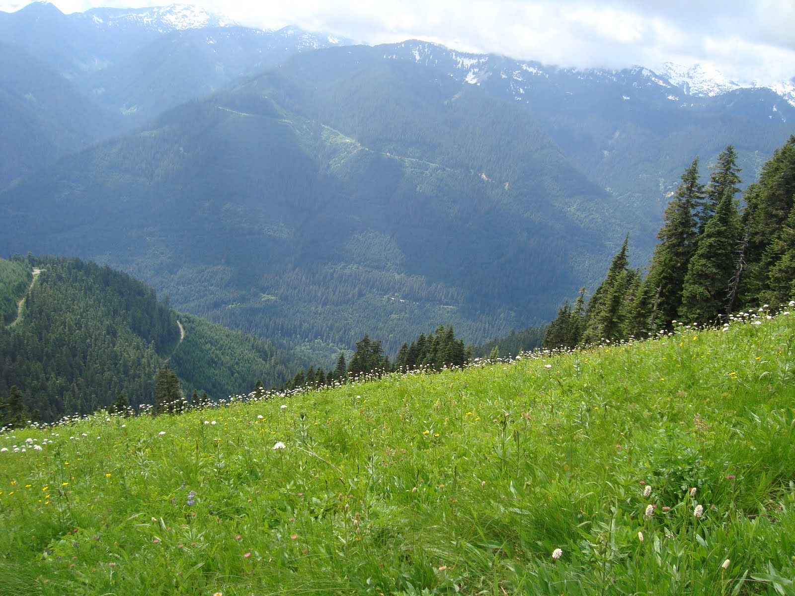
Now, my hike(s).  I go to the Iron Goat every summer and hike some part of it.  There are 3 trailheads after all.  In 2009 I was so intrigued by the railroad history and the idea that there was this whole town that's completely gone, that I started out at the Wellington Trailhead and hiked down and around to the west portal of the Windy Point Tunnel.  In 2010, I started at the Scenic Trailhead and hiked to the Martin Creek TH and then up the crossover trail and hiked the upper grade to the Windy Point Tunnel and then down the switchbacks of the Windy Point Crossover trail back to Scenic.  So I have hiked the whole trail, something like 12 miles.  One day, I'll do the whole thing, but I'll need someone to drop me off and pick me up.  That brings me to this year, 2011.  I decided to re-visit Wellington and it's awesome snowsheds.

Old Cascade Tunnel
Let me just have an aside for a moment...before I came to Wellington, I drove over the pass to find a hike called "By Gones and Byways".  It's supposedly a short interpretive hike just off of Hwy 2.  Now, you can only get to it if you're going west and I was going east so I had to find a place to do a u-turn below the pass and head back up.  The first time I didn't go far enough and went back down.  I finally found it, I mean, there IS a brown sign.  The parking is just a lane added onto Hwy 2. (here I might add that Hwy 2 is affectionately know to locals as the Highway of Death).  So, I park...er...pull over and grab my pack and head down the little trail.  It's a nice little trail and there were numbered posts, however there was a lack of interpretation.  There was pretty much nothing on the trailhead board.  I wandered through a short loop, took some pictures and totally got the heebee geebees.  It was time to get the heck out of Dodge!  Don't know what those were all about, probably too close to the road and any ax murderer who might happen to be driving by, but heebee geebees means leave immediately.  It was after this that I went to the safety of the Iron Goat Wellington Trailhead.  There were a few cars there and some people, but no ax murderers.  First stop was to take a look at the Old Cascade Tunnel and then start down the nice paved grade and on to the snowshed.

When you come out of the all-concrete snowshed, there is a concrete snowshed wall that continues on and off the length of the grade.  These snowsheds had timber roofs that were salvaged when the line shut down.  This portion of the railway was abandoned in 1929 when the new Cascade Tunnel was completed and the rails moved lower down in the valley.  Anyway, Mother Nature has found a way to make a very unnatural concrete wall assimilate...
Waterfall coming off a concrete snowshed wall
What it looked like then.
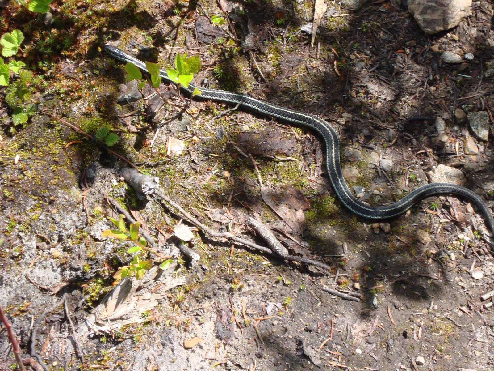
I wandered, enjoying the flowers and the sun and thinking about what it was like when trains actually went through there and out of nowhere, two Navy jets flew over.  That sort of brought me back home a bit.  I don't reckon they had Navy jets screamin' through there back in the early 1900's.  And, I mean, they were low too.   It's too bad I didn't get a picture.  I kept trekking on down the gentle grade until I came across a collapsed timber snowshed.  I decided to turn around here which was unfortunate because the trail then goes into the nice shady pines, but, I figured that was enough and I wanted to get back to the truck so I could stop one more place on the way home.
What it looks like now.

So, back I went and I only ran into 4 people on the way.  I got back to my truck and had an AWESOME bento that I had packed for myself--no, I do not have a picture I was too busy eating--and then on to more exploration.  I decided to drive down the Old Cascade Highway the rest of the way to see where it went.  I just ended at a foot bridge and then picked up again on the other side of the Tye River.  Now, it's beyond me why they can't maintain a regular bridge when they can maintain a foot bridge, but whatever.  Not to mention, the hundreds of bridges on forest service roads that are actually worse roads than the Old Cascade Hwy, but I digress... On to my next stop!  Started on my way towards home and stopped at Deception Falls, another interpretive trail right off of Hwy 2.

Crossing over Deception Creek
I know, you're probably thinking, "Didn't she learn anything from the earlier heebee geebee incident?"  This is entirely different all together.  There's an actual parking lot and it's quite popular.  I'm gonna call this a No Heebee Geebee Zone!  There is a loop trail there, but I just wanted to see the falls so I skipped all the mumbo jumbo and headed directly towards rushing water.  I had to cross over the "creek" and go under Hwy 2 and then up to a little viewing area to see the falls.  They were deceptive...ok, not really.  They looked like falls to me.


Upper Deception Falls
Thus ended my hike(s).  I got back in my dusty chariot and headed home.  It was a very good day.


Wednesday, August 10, 2011

Mt. Rainier National Park (8-11Jul11)


Back in the beginning of July, we went on a nice family camping trip down to Mount Rainier National Park. What do I mean by family? My husband's whole family--mom, dad, brother, sister and her husband, 3 kiddos and 3 dogs (we left our dogs at home with the sitter since they aren't allowed on trails in the park). They all camped at Ohanapecosh (national park campground) and we camped 6 miles down the road at La Wis Wis (forest service campground) since our coach was too long to fit in the national park. The Alpenlite, henceforth known as Alpy, is 31 feet and the max trailer length for any of the NP campgrounds is 27 feet. Bummer, but not really because we had the place practically to ourselves.


We arrived on Friday, July 8 about an hour before check-in time. The Hatchery Loop, where the RV's stay is sort of far from the other part of the campground and to our delight, there were no other campers at that time. The 40 foot site was not exactly what we were thinking it would be so we parked and took a little walk to find the camp host to see how we were supposed to fit our coach. Curt ended up driving out, turning around and coming in the wrong way so that our door would face the picnic tables and fire pit. The camp host was fine with this. This trip was the first we used our fresh water tank as the Hatchery Loop doesn't have any sort of hook-ups or water. You have to walk (or drive) over to the main part of the campground to get water. No worries though, we were set. Got our camp set up, rolled on into Packwood for a few odds and ends and when we got back, I totally sacked out for more than a few hours.

SATURDAY, JULY 9

It was a chillaxed sort of morning. Got up, coffee, breakfast and got going into the park. I had my trusty "Day Hiking: Mount Rainier National Park Trails" by Dan Nelson with me and had picked some nice short hikes to try out. Our first stop, however, was the MRNP entrance gate at Steven's Canyon to buy our America the Beautiful pass. We then proceeded on about 10 miles to Box Canyon and the first stop of our adventure.

Curt and I on the Box Canyon trail
We crossed the road and checked out Box Canyon and then from that trail, there is a trail that attaches to the Wonderland Trail (the 93 miles trek around the mountain) and takes you back to Nickel Creek. I thought this would be interesting. It's only about a mile back to Nickel Creek and there's also supposed to be a camp shelter there. Also, there isn't much elevation gain on that trail. It was nice and wooded. The trail climbs up a bit and then sort of flattens out and starts on a downward as you get to the creek. We hit snow probably at 3/4 mile in, but it wasn't too terrible. Crossed the creek on the lovely bridge and then up the other side.
Bridge over Nickel Creek

This was where the shelter was supposed to be according to the guide book. We found no shelter, but a snow pile and some bricks that looked out of place in the wilderness. In any case, it was a nice place for some lunch.
Nickel Creek Shelter site?

After lunch we turned around and hiked back out to Box Canyon and checked out the viewing point from the parking lot side. On the way back we stopped at Ohanapecosh to say howdy to the family and visited with them for quite awhile. A group of us, mom and sis's family and I headed out for a hike to Silver Falls.
Silver Falls
This is about a 2 mile loop that heads up through Ohanapecosh hot springs and then on to the falls. It was great and my niece and I were in the lead most of the time. She is quite the little hiker! I see that I have a future partner. By the end of the loop, she had found herself some sticks so that she had hiking poles to match mine and we were to be "matching girls forever!"

SUNDAY, JULY 10
It was a rather early morning, for us anyway, because we wanted to get up to Paradise and back by about 3pm so we had enough time to prepare for Sunday dinner--we had invited the entire clan over to our campground for some chow that night. It was apparently not an early morning for the rest of the tourons because we got to Paradise around 10:30 am and it was not very busy compared to what it became later in the day. We dinked around the new visitor center, watched the movie, checked out the gift shop and ate some lunch. Then, we decided to move the truck down to the old parking lot, there was a 2 hr. time limit in the new one, and attempt some hiking. Now, Paradise was snow covered, but there were some wands.
Wands marking a trail
We originally wanted to try and hike from the old parking lot over to the new, but couldn't find the trail. We ended up on a loop trail and turned around and just walked back over via the sidewalk. We wandered over to the Paradise Lodge to check that out and then back. By this time, it was crowded, getting late and the previous snow travel had made us tired so we opted to take a few pictures there by the visitor center and leave.
Curt and Christina at Paradise
I had a nice nap in the truck on the way back and was ready to start the cooking. Dinner was great and we only had one mishap when my 5 year old nephew bonked his head on the slide-out of our trailer. I'm hoping he learned not to run around it, but we'll see.
MONDAY, JULY 11
Our check-out time wasn't until 2pm so we had a nice leisurely morning packing up. Decided to go back up 410 and over Cayuse Pass to get home and just took our time, stopping a few times here and there to cool down the tranny or pull over to let cars get past us. We had a great trip and really didn't want to leave. Four days was not long enough!
A brief stop on the way home.

Saturday, August 6, 2011

Evergreen Mountain Lookout (05Aug11)


Now that the snow has somewhat melted in the Cascades (it only took until AUGUST!), I thought it would be time to get out there and hike a bit. I love hikes that have history behind them so I decided to go to the Evergreen Mountain Lookout* which is perched high on Evergreen Mountain overlooking, among other things, the Beckler River valley. This was also a great time to go as the FS road that goes to the trailhead is finally open and repaired (been closed since 2008). *See the Mount Baker-Snoqualmie USFS website for further info on the lookout's history and rental information.

First things first, I usually have a very good sense of direction, but that apparently doesn't apply to forest service roads. I started up in the right direction, but then thought I was going the wrong way, went back down and took another road 5 miles out of the way only to come to a dead end. So, I finally get going the correct way and nearly get clobbered by the big dump trucks that are going who knows where up Beckler Rd (FS 65). Once I get to Jack Pass, which is more like Jack Crossroads, I go on FS 6550 for about a mile and then make a hairpin turn onto FS 6554. YES, finally on the right track! The first thing that I encountered about 2 miles up 6554 was this sketchy looking bridge...

Notice how it's made of wood and some of that wood is a bit crumbly. Hmmm....well, the gate was open so I thought, "Proceed!" No problem and it felt quite solid under my truck. Up and up and around several bends and up some more for about 6 more miles I went. Luckily, I only met one other vehicle coming down as this road is almost smaller than a one lane two-track that goes straight down on one side. There's very little space for more than one car and I drive a Tahoe. BUT, the views from the road were pretty amazing! I saw one guy with 3 Golden Retrievers hiking up the road and once I got to the trailhead, there was one other vehicle there. So, I pretty much had the place to myself. AND, if anybody is wondering, you get pretty good cell reception at that trailhead. I know this only because I forgot to turn my phone off and it rang after I got my pack on.

The beginning of the trail is rather steep, but it sort of gets less steep in a still going up kind of way. After looking at a topo map and checking this out on Google Earth, I thought it'd be a sweet little ridge walk and it was, but the ridge kept going up. Views start almost immediately


as the trail climbs up through an old burn area. I managed to see one actual wild animal which gave me a bit of a start as it slithered across the trail, but once ascertaining that it was merely a garter snake, I shooed it off and kept going. Shortly, I met two older gentlemen and cute black and white dog who where on their way down. They were very nice and told me that there were a few blow downs, but I shouldn't have a problem and that the last 15 minutes or so was on snow. Again, not a problem. They had made it all the way up to the lookout. I thanked them, bid them good day and continued on my way.


What they didn't say exactly was that a pole vault was needed for one of the blow-downs. I felt like there should have been a panel of judges to score the fancy over-under duck walk thing that I had to do to get over and under this thing and then not five feet after, a vault over a fat log to a nice finish. I give myself a 10. ANYWAY, up through the woods I go and then out into the meadow.


The lookout is getting closer! Just another stand of trees to go around and...the snow. The other thing that the nice gentlemen didn't say was that they were actually snowfields of death. I got over the first two piles of the dirty white crap with little problem. The third one was a bit more dicey.
I couldn't see any footprints, had these two really been up here? The final straw was the 4th snowfield of death that showed no hint of trail and a nice chute down to a valley (ravine?) below that would have required SAR to come get me. Sadly, I decided to turn around not reaching my goal. Perhaps people will think I'm a weenie, but the long and tall of it was that I was a female hiking alone without snow traction devices for the feet and not much confidence in my snow travelling and step kicking abilities. I found a way around the snow on the way back and that's all I'm going to say about that.
I had just finished taking some pictures in the meadow and was starting on my journey back to the truck when I heard a loud bark sounding rather close and coming from the woods. The woods where I was headed. Since I could see that I was the only vehicle parked at the trailhead, this was a bit startling. I was stuck and whatever wild animal sounds like a dog was between me and the safety of my truck. So I started singing. I made up a song about wild animals getting the heck out of my way otherwise they'll get poked with a stick! Anyway, a few feet into the forest, I spied a Golden Retriever running up the trail and then another and another and then comes the guy. WHEW! Nice dogs, nice guy and if he heard me singing my ridiculous song, God bless him, he didn't say anything!

I returned to the truck without incident, changed into my comfy Vibram 5Fingers and got to going home. It was a good hike even if I didn't reach my intended destination.


"For the Lord is the one who shaped the mountains, stirs up the winds, and reveals his thoughts to mankind. He turns the light of dawn into darkness and treads on the heights of the earth. The Lord God of heaven's armies is his name!" Amos 4:13